
WALKING, CYCLING & DRIVING ROUTES
WALKING ROUTE TO MONTI-SION FROM THE PLAÇA DE LA VILA TO THE HILLTOP
Key facts
Distance: ~6–7 km
Time: 1 h 45 min – 2 h 30 min min (depending on pace)
Elevation gain: moderate, concentrated on the final ascent
Difficulty: easy–moderate
Route via the Camí de Sa Mesquida
📍 Starting point
Plaça de la Vila de Porreres
1. Leaving the village centre
From the Plaça de la Vila, take Carrer Major heading south-east, leaving the village centre behind. Walk through the last streets until you exit the built-up area, where the landscape begins to open out towards farmland.
2. Joining the Camí de Sa Mesquida
Once outside the village, the route joins the Camí de Sa Mesquida, a wide and peaceful rural track. The surface is mostly earth and gravel. The path winds through fields, almond trees, fig trees and traditional dry-stone walls, with fine views over the Pla de Mallorca.
3. Along the Camí de Sa Mesquida
Follow the Camí de Sa Mesquida without any notable detours. The gradient is gentle and steady, ideal for a comfortable walk. Throughout this section, the Puig de Monti-sion remains visible ahead as a constant reference point. This is a traditional track, highly representative of the rural landscape of Porreres.
4. Reaching the foot of the hill
As you approach the puig, the path becomes slightly steeper. The Camí de Sa Mesquida eventually connects with the road leading up to the Sanctuary of Monti-sion.
5. Final ascent to the Sanctuary
From this point, continue along the paved road, which climbs in a series of bends. This is the most demanding stretch of the route, though relatively short. Along the way, fine panoramic views open up over Porreres and the Pla.
6. Arrival at the Sanctuary of Monti-sion
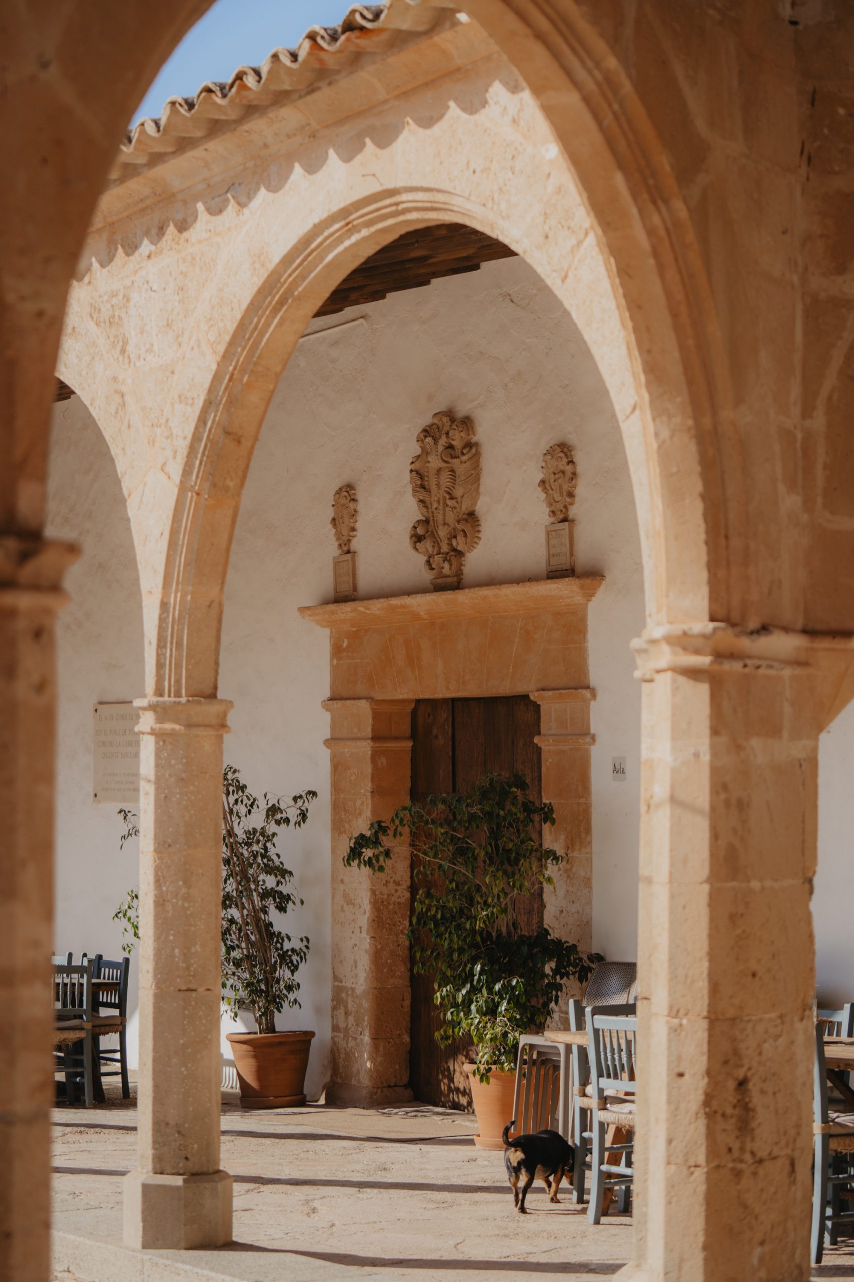
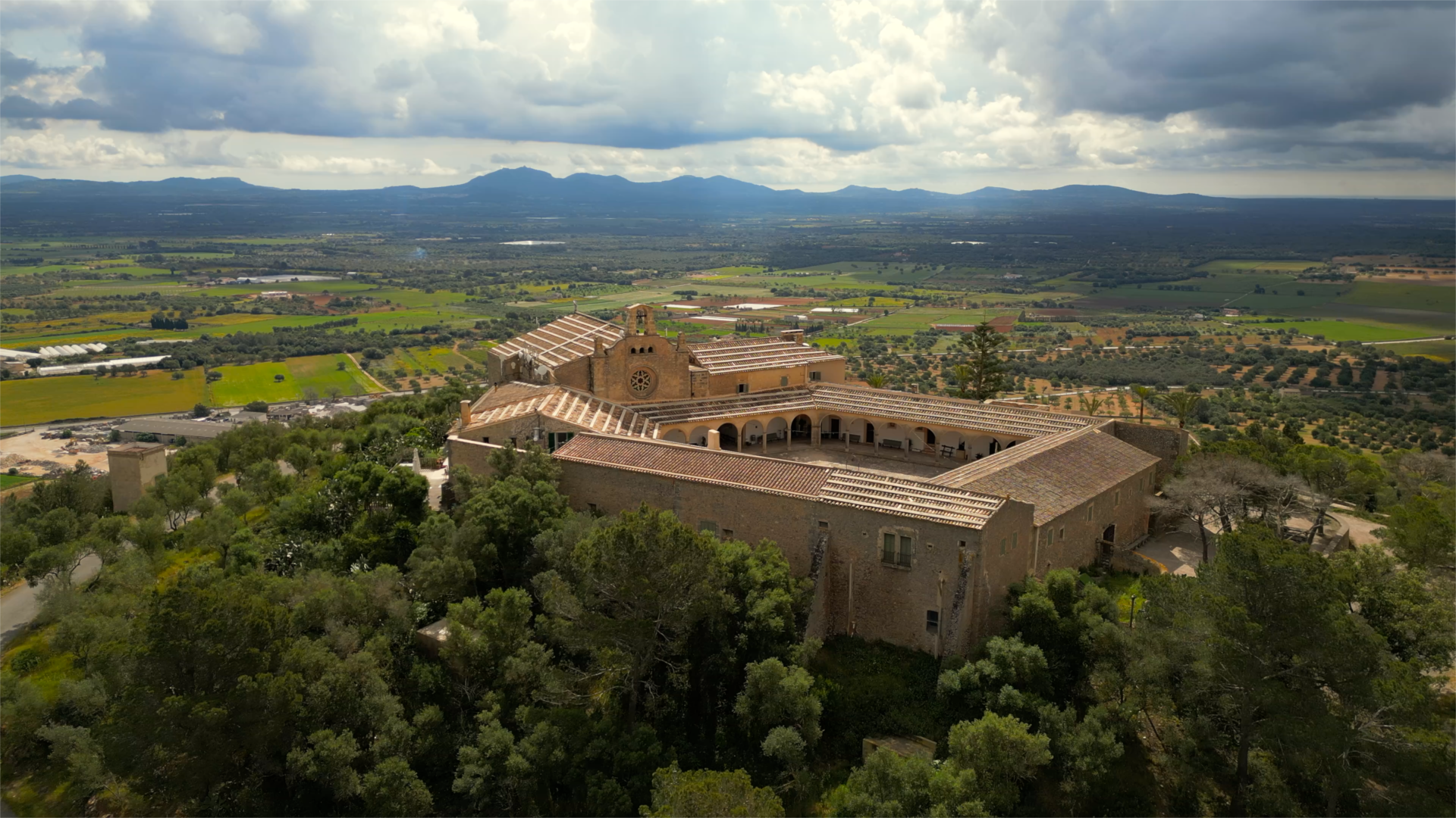
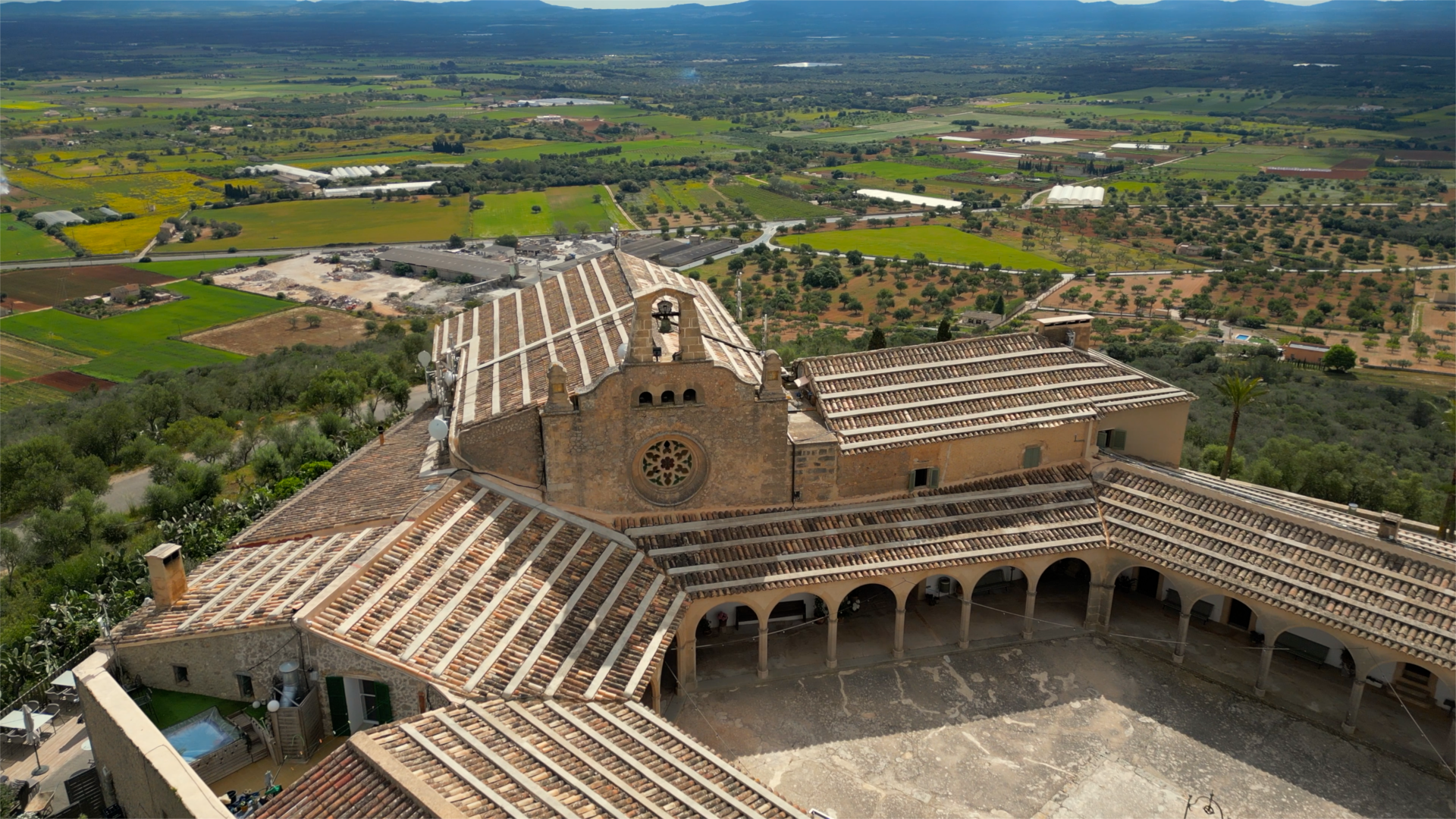
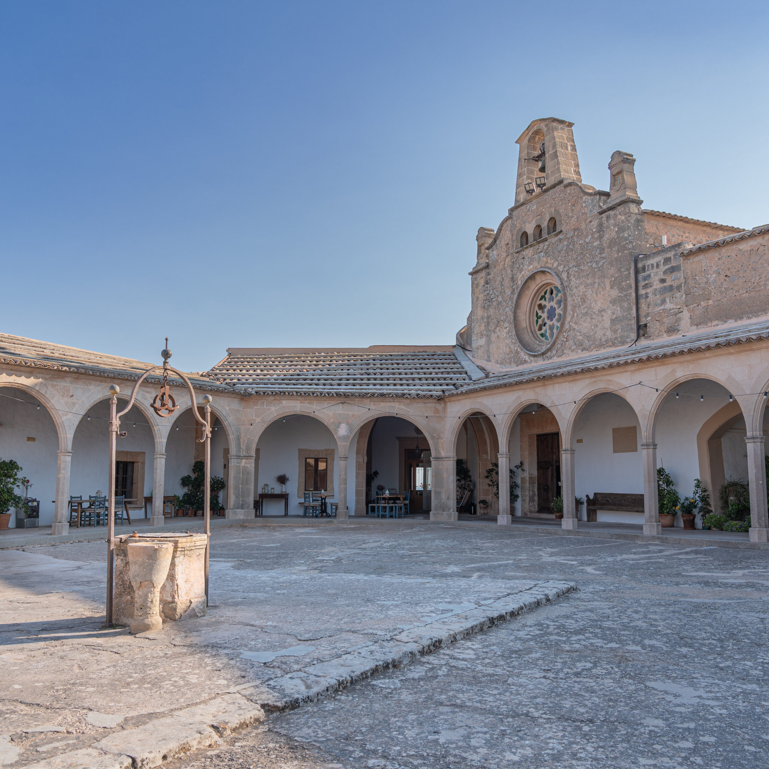
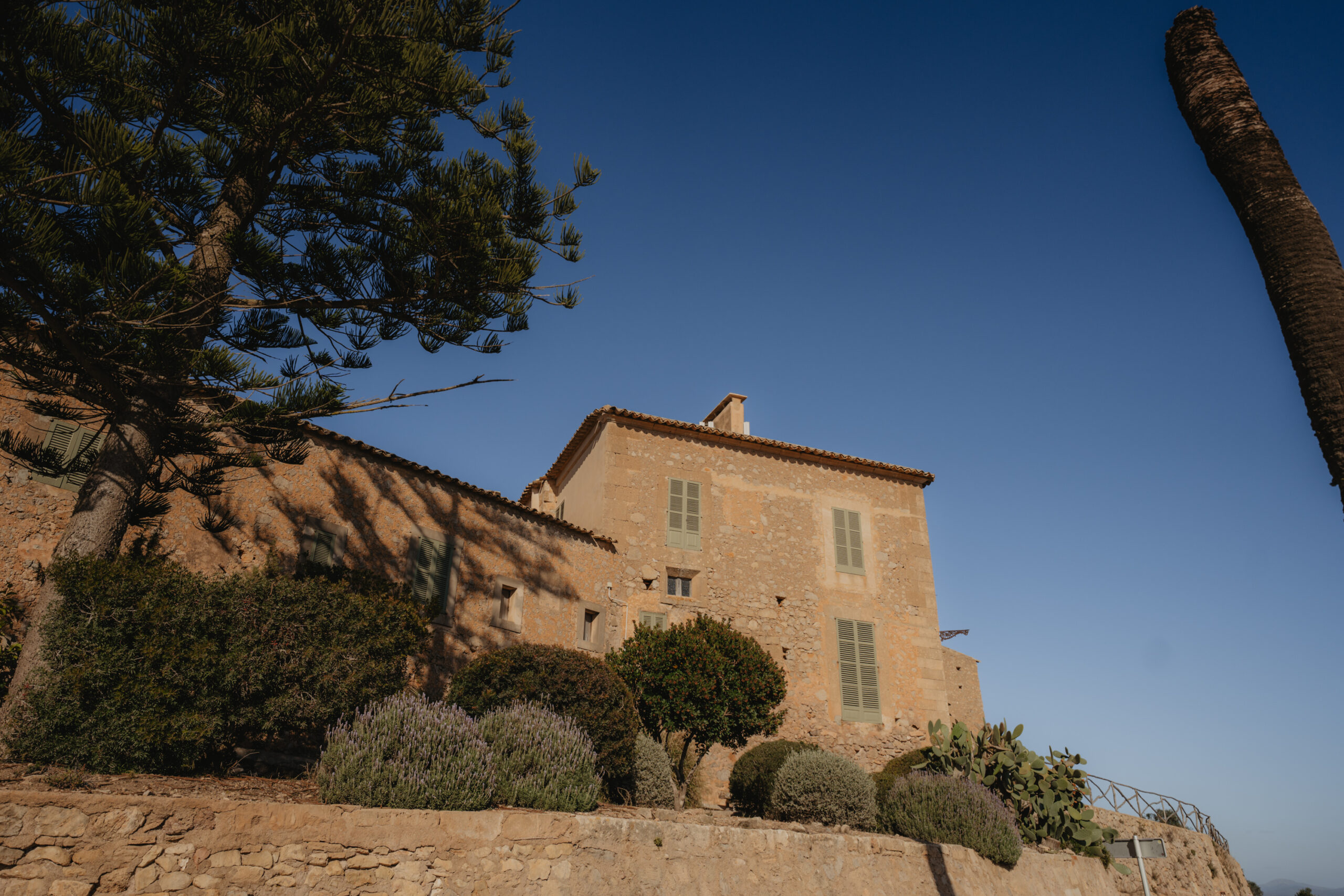
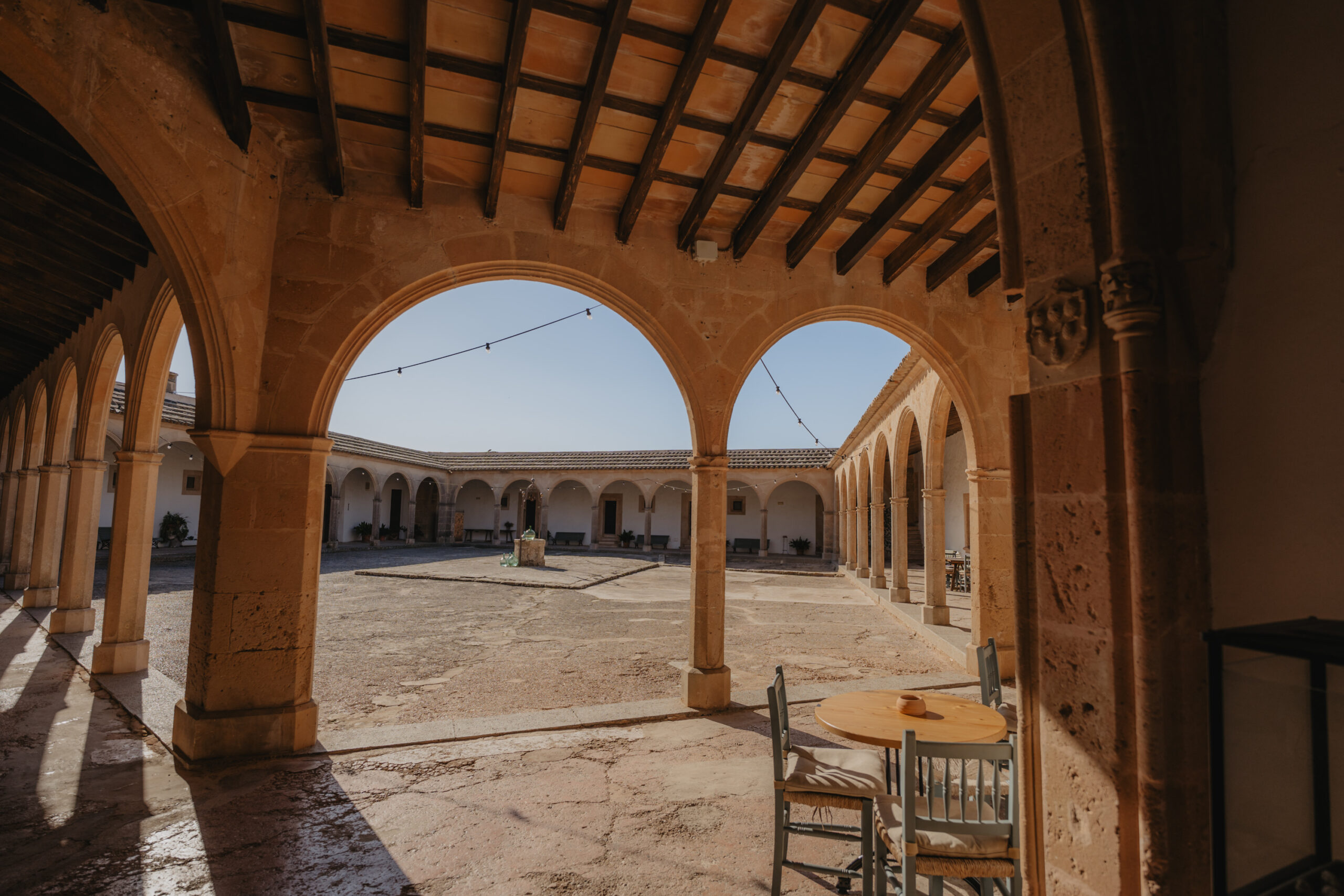
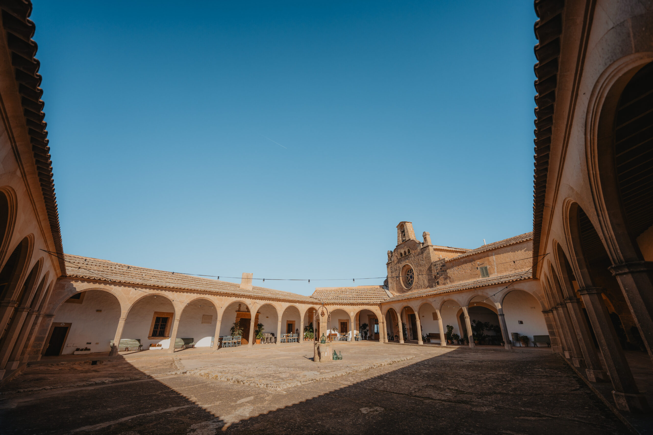
You arrive at the Sanctuary of Monti-sion, perched at the summit of the hill. The site has an open esplanade and on clear days offers sweeping views over a large part of the island.